


AUTHENTIC. WILD. UNFORGETTABLE
Our Region
About The Yukon
Stretching across nearly half a million square kilometres, the Yukon is one of the wildest, least-crowded places left in North America. Boreal forest, alpine tundra, and some of the continent's great rivers meet here — home to more wildlife than people, and skies that turn green with the aurora for much of the year.
Total Area of Land
119,214,262 Acres
482,443 km²
People per Square KM
0.1
Number of Moose
70,000
Number Of people
Fewer than 49,000
More about The Yukon
From the Gold Rush history along the Yukon River to the untouched wilderness of the Peel Watershed, the territory's landscape holds centuries of story. It's a place best understood by getting out into it — on the water, on the trail, or under the northern sky.
Fun Facts
- The Yukon River as we know it was born about 2.6 million years ago
- The Yukon is home to more mountains than any other Canadian Territory
- On the summer solstice, the sun rises over Whitehorse at 4:28am and doesn't set until 11:36pm — more than 19 hours of daylight
Our Rivers
Every river we run has its own personality — from the Takhini's easy current to the remote, expedition-grade Wind River. Whether you're looking for a half-day paddle or a multi-week journey into true wilderness, there's a Yukon river built for it.
Major Watersheds
6
Rivers we Paddle
7
Our Rivers
Yukon
Wind River
Takhini
Nisutlin
Teslin
Pelly
Big Salmon
YUKON RIVER
The river that built the North — 3,190 km from a glacier in northern BC to the Bering Sea, and still the classic Yukon paddle.
- River Distance: 3,190 km (1,980 mi) total
- Fish in River: Arctic grayling · northern pike · lake trout · lake and broad whitefish · burbot · inconnu (sheefish)
Highlights
- Finish on the course of the Yukon River Quest, the longest annual canoe and kayak race on Earth
- Shoot Five Finger Rapids, where crews blasted six metres off the rock from 1900 to 1927 so sternwheelers could squeeze through
- Camp beside Fort Selkirk, an 1848 trading post on ground people have used for at least 8,000 years — still reachable only by water
- Share the river with Chinook finishing a 3,000 km migration from the Bering Sea, one of the longest salmon runs anywhere in the world
WIND RIVER
Deep in the untouched Peel Watershed, the Wind carves through jagged peaks and crystal-clear water — about as remote and wild as paddling gets.
- River Distance: 190 km (118 mi)
- Fish in River: Arctic grayling · Dolly Varden · inconnu (sheefish) · broad whitefish · burbot (Peel drainage species — no salmon; this system drains to the Beaufort Sea)
Highlights
- Water so clear you can count the stones under your hull in water over your head
- Fly in, fly out — there is no road to this river and no road off it
- This is the river that went to the Supreme Court of Canada and won: in 2017 the Court struck down the plan to open the Peel to development
- Paddle through Beringia, land the ice sheets never reached, holding plants found nowhere else on the continent
- Dall's sheep on the skyline and grizzly tracks on the gravel bars — pull over anywhere and walk up a ridge
TAKHINI RIVER
Whitehorse's home river — glacier-fed water out of Kusawa Lake, a lively Class II rapid, and a full day on the water without leaving town for long.
- River Distance: 17 km (10.5 mi)
- Fish in River:
Arctic grayling · northern pike · lake trout (Kusawa Lake) · round whitefish
Highlights
- The closest real wilderness river to Whitehorse — on the water 30 minutes after breakfast downtown
- Its Tlingit name, T'ahîni, means "king salmon river," and Chinook still climb it every August to spawn
- Run the Jaws of Death, the Yukon's most enjoyably named rapid — Class II, and a low Class III when the water is up
- Glacier-fed straight out of Kusawa Lake: 75 km long, 140 m deep, mountains on both shores
- Watch for elk — this valley holds the highest concentration in the territory, from a herd introduced in the 1950s
NISUTLIN RIVER
A gentle, south-flowing river through the Pelly Mountains that ends in the largest inland delta in the Yukon — the beginner's wilderness trip.
- River Distance: 130–180 km (80–112 mi)
- Fish in River:
Arctic grayling (best in the upper river) · northern pike · lake whitefish · lake trout (Teslin Lake) · least cisco
Highlights
- One of the quietest rivers in the North — Class I from the put-in to the lake, not a single rapid to portage
- One of the very few rivers in the Yukon watershed that runs south
- Ends in the largest inland delta in the territory, 5,480 hectares protected as a National Wildlife Area since 1995
- Over 150 bird species pass through, counted by Canada's northernmost bird banding station
- Reached by the South Canol Road, a WWII pipeline route through the mountains that's only open in summer
TESLIN RIVER
632 km of easy current, gold rush relics and ghost-town history — the friendliest big river trip in the Yukon.
- River Distance: 632 km (393 mi) total
- Fish in River:
Arctic grayling · northern pike · lake trout · lake whitefish · least cisco
Highlights
- Float the exact route the 1898 stampeders took to the Klondike after hauling their outfits over the Chilkoot
- Tie up at Shipyard Island and walk around the Evelyn, a 1908 sternwheeler still sitting on her ways where crews left her
- The easiest big river in the Yukon — the standard guidebook says it can be run by "even an amateur, using common sense"
- Drift past the Hoodoos, clay banks eroded into towers, then Battleship Island and the rusting gear at O'Brien's Bar
- Arrive at Hootalinqua, a meeting place for three peoples long before the gold rush, where a telegraph station has stood since 1900
About
Granite canyons, glacier headwaters and almost nobody else — the Pelly is the Yukon's great under-paddled river.
- River Distance: 530–608 km (330–378 mi)
- Fish in River: Arctic grayling · northern pike · lake trout · inconnu (sheefish) · burbot · whitefish
Highlights
- The Yukon's great empty river — a fraction of the traffic of the Yukon, and not one road between put-in and take-out
- Slide through Granite Canyon under its cliffs and past Needle Rock, a spire standing at the canyon's mouth
- A river of extremes: it runs 45 times higher in June than it does under the ice in January
- Starts on glaciers above 1,400 m in the Selwyn Mountains; its Selkirk First Nation name means "water running between the mountains"
- Ends at Fort Selkirk, where the Pelly meets the Yukon — a restored 1848 post with no road to it
About
A lake chain, a clear mountain river and a ghost village on the Yukon — the Big Salmon is the trip experienced paddlers pick when they've already done the classics.
- River Distance: 235 km (146 mi)
- Fish in River: Arctic grayling · northern pike · lake trout · Chinook salmon (present and spawning — closed to fishing, see note)
Highlights
- No named rapids on the whole river, but tight bends, live current and log jams that make it a real intermediate trip
- Land at Big Salmon Village, an abandoned gold rush settlement with a cemetery and building remains still standing
- Paddle a river whose Tutchone name, Gyò Cho Chú, simply means Big Salmon River — the salmon are the reason it's called that
- Grizzlies come down to the water to fish the spawning run in August and September
wildlife In The Yukon
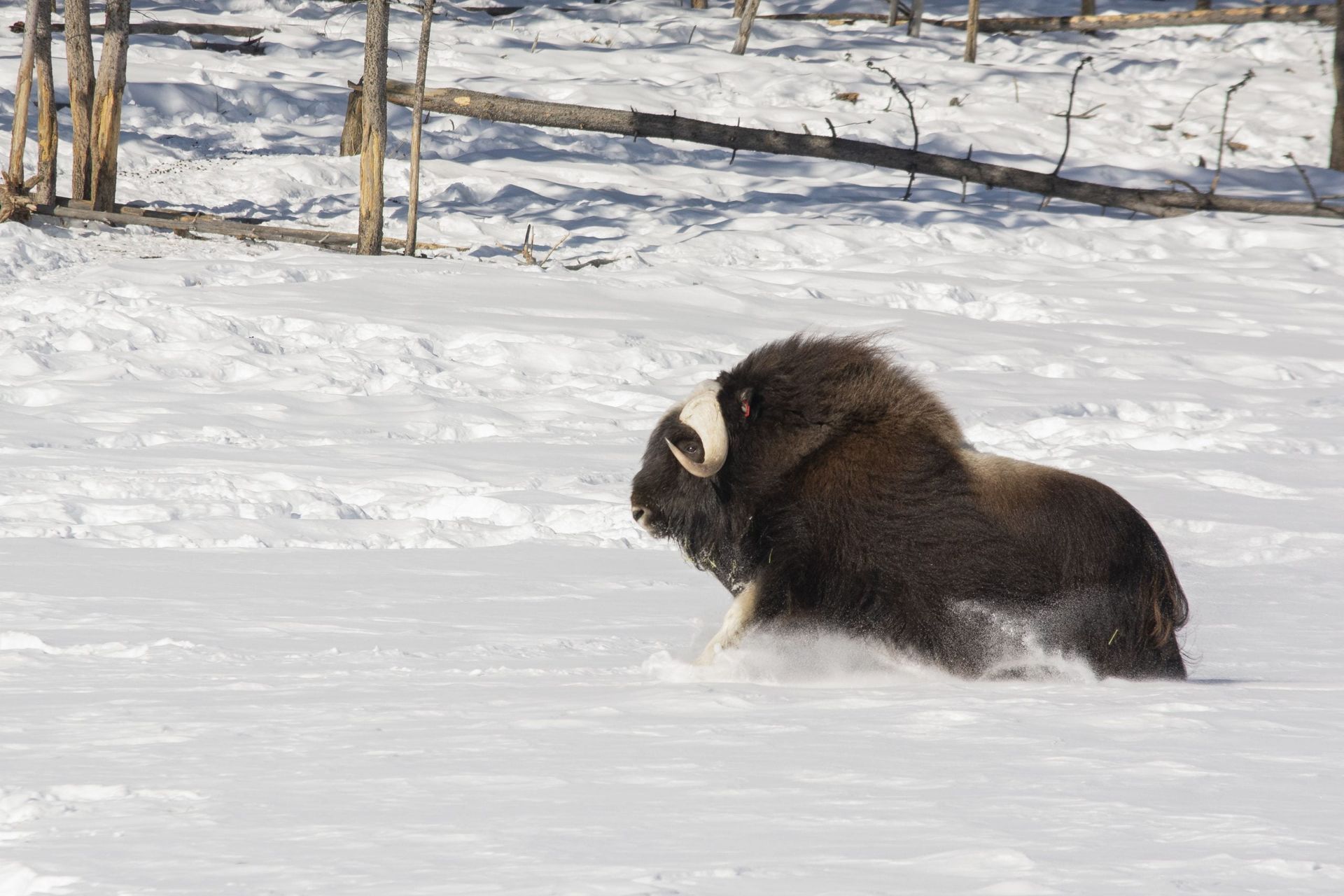
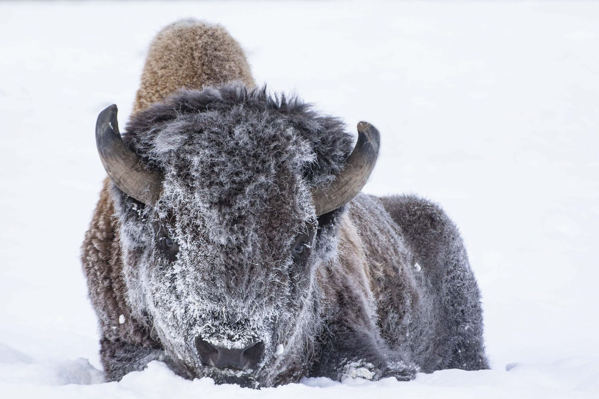
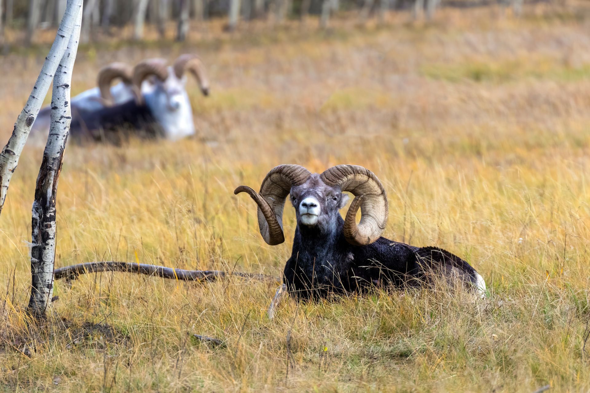
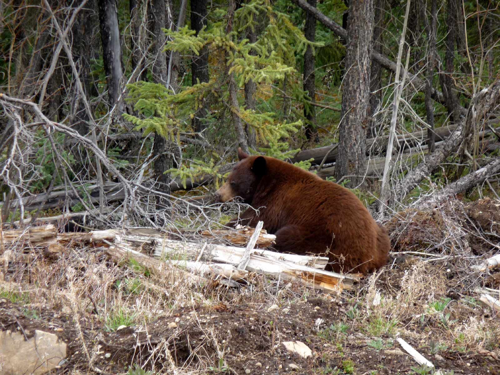
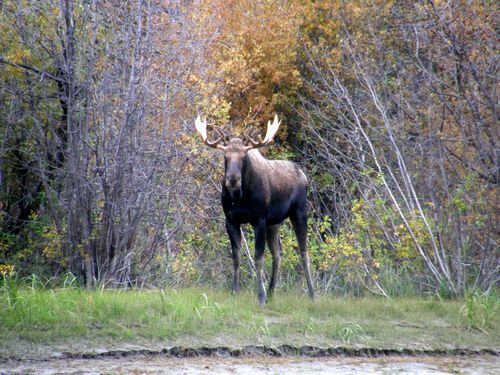
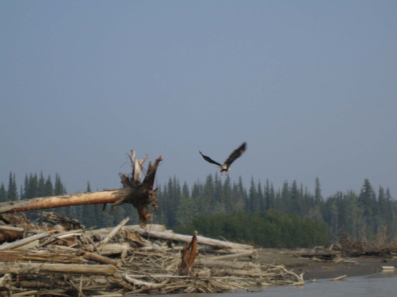
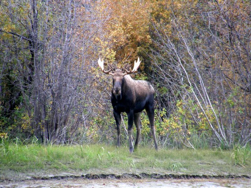
The Yukon is one of the best places in North America to see wildlife in its natural habitat — moose, caribou, black and grizzly bears, bald eagles, and Arctic foxes all call this territory home. Many of our river and hiking trips offer genuine wildlife sightings along the way, and the Yukon Wildlife Preserve offers a guaranteed, up-close look at the territory's iconic species. See some of our most famous residents below:
Our Partners

Try Our Most Popular Trip
6 Day Yukon River Fly-In
Plan Your 2027 Trip
The best of the Yukon packed into 6 days